
Portsmouth Harbor, NH
After launching at the Kittery Point Town Wharf, I paddled up Chauncey Creek to Brave Boat Harbor. I returned to Portsmouth and followed the eastern shore of the harbor past Wood Island, then crossed the channel north of Whaleback Light to Little Harbor. After a nice lunch at Frost Point, I headed up the channel toward Seavey Island, then crossing the channel again and rounding Seavey Island through the Back Channel. I passed Kittery Point and landed at the wharf. In total, I covered about 11 nautical miles.
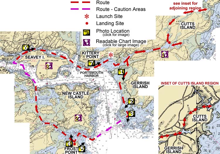
Image descriptions are keyed to the map above; you can also click on the map to see the image
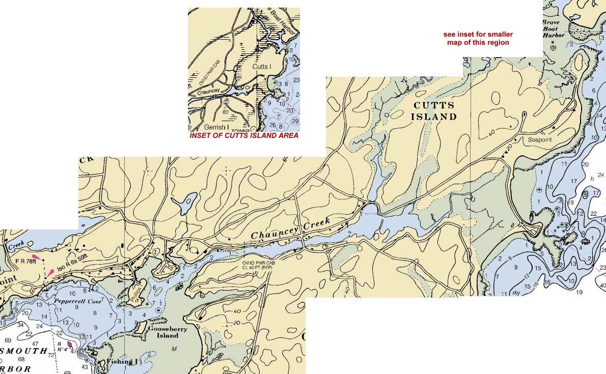 |
Kittery Point to Brave Boat Harbor: high-resolution nautical chart (212kb) |
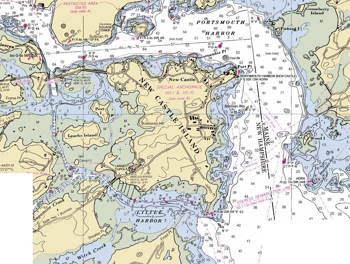 |
Little Harbor and New Castle Island: high-resolution nautical chart (338kb) |
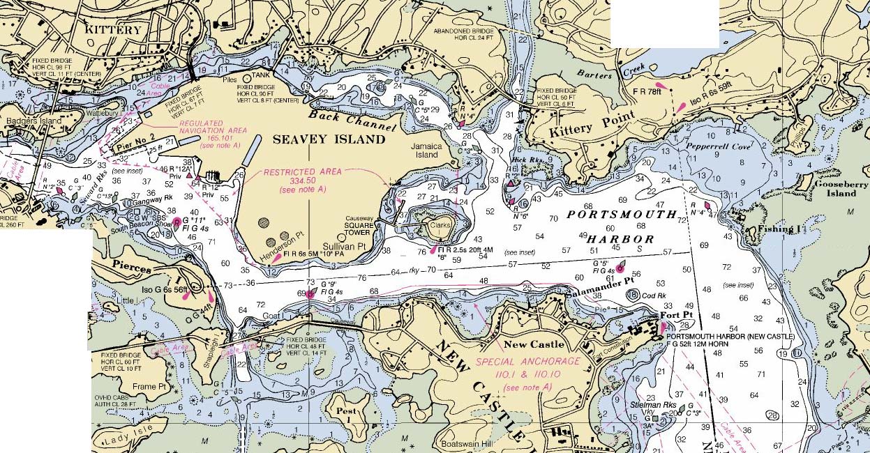 |
Seavey Island and Kittery Point: high-resolution nautical chart (316kb) |
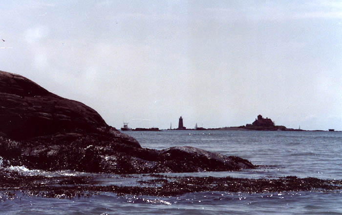 |
Gerrish Island, ME backed by Whaleback Light and the old Coast Guard Station on Wood I., ME |
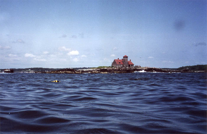 |
Old Coast Guard Station on Wood Island, ME |
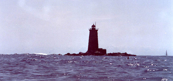 |
Whaleback Light |
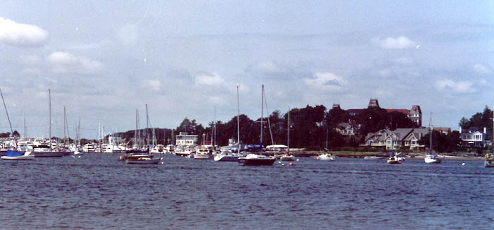 |
Little Harbor and New Castle Island, NH |
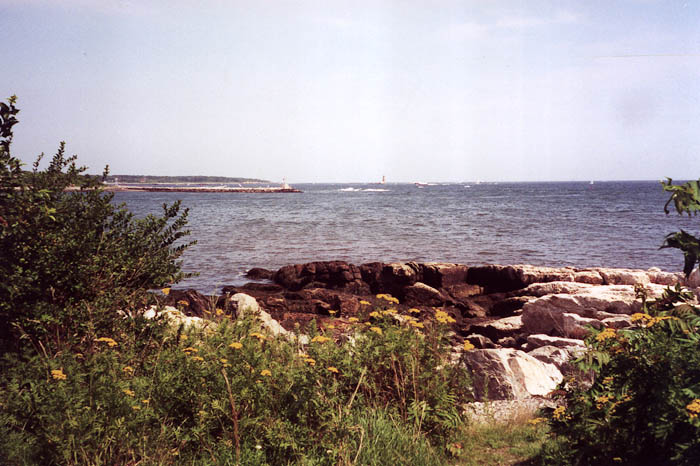 |
Portsmouth Harbor from Frost Point, Portsmouth, NH |
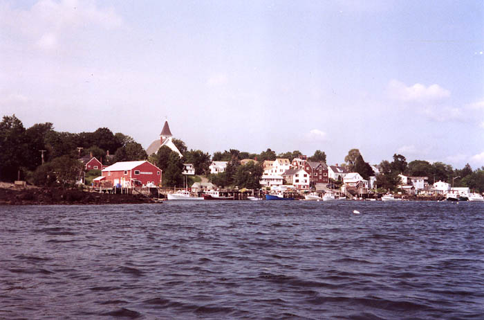 |
Kittery, ME from Back Channel |
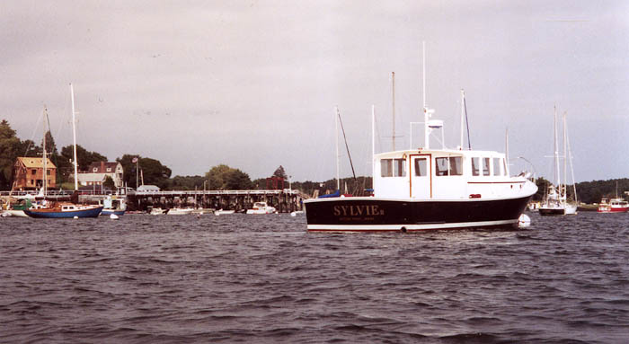 |
Kittery Point, ME Town Wharf |


You are visitor number
© 2000 Daniel E. Smith. Last updated 8-21-00